
A Ticking Time Bomb: Chinese Hydropower Projects in Tibet Fuel Nepal’s Disasters
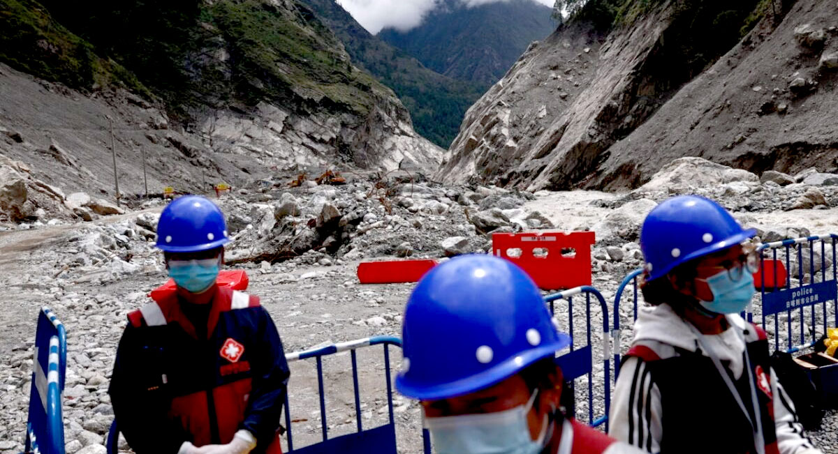
A second flood in two weeks has swept away homes and bridges. The Himalayas are a fragile region where extreme caution is essential. Beijing, however, is doing the opposite, and disasters are becoming the price of decades of construction and drilling.
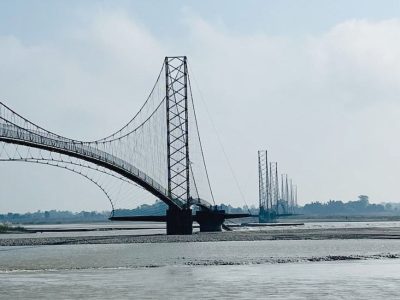
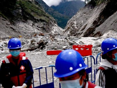
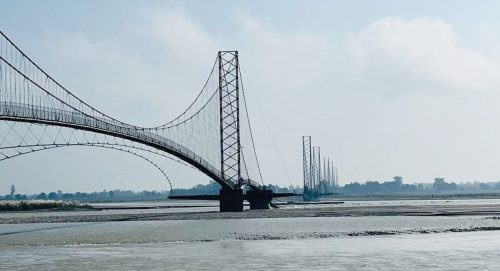
On Saturday, October 10, a landslide blocked the Budhi Gandaki River in Gorkha District, about 100 kilometres west of Kathmandu. When the debris dam gave way, the resulting flood swept away homes, two suspension bridges, the road bridge connecting the district to Dhading, and part of a hydropower construction site. Nepalese authorities ordered evacuations along the downstream riverbanks and issued warnings to districts as far as Chitwan and Nawalparasi. At least five people remain missing.
It was the second flash flood in six weeks, following the same pattern as the far more devastating disaster in late August: part of a mountain collapses, a river becomes blocked, a lake swells, and then the accumulated water surges downstream. Nepal is learning the hard way that disasters in the Himalayas rarely occur in isolation.
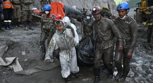
In Rasuwa District, rescuers are still recovering bodies from mud and rubble. The toll from August was staggering: 1,457 dead, thousands missing, and entire villages erased from the map. Beijing has portrayed the flash floods that swept through northern Nepal and Tibet’s Gyirong County on August 26 as an unavoidable act of nature.
But they are not. They are the foreseeable and preventable cost of decades of construction, dams and tunnels through which the People’s Republic of China has not only maintained its military occupation of Tibet but also placed the Himalayas under enormous pressure, turning the world’s highest mountains into a potential killing field.
To understand how this could have happened, we must begin with geography. The Himalayas are no ordinary mountain range. They are the youngest and one of the most tectonically active major mountain systems on the planet, formed by the collision of the Indian and Eurasian plates. Their peaks are home to vast glaciers and snowfields, their slopes are so steep that even minor disturbances can trigger collapses, and their rivers plunge through narrow gorges with tremendous erosive force.
In other words, glaciers hang above unstable slopes, which in turn tower over rivers, all within seismically active zones. It is a precarious balance that demands extreme caution from anyone operating in the region. Beijing has chosen to do precisely the opposite.
Investigations into the events of last August along the Tibet–Nepal border describe a specific sequence of events. At high altitude, a massive volume of ice and rock collapsed, sending an avalanche of debris into the river. The debris blocked the flow, creating a natural dam. Water accumulated behind the barrier until it failed, unleashing a devastating flood wave.
The resulting torrent travelled approximately 168 kilometres downstream, sweeping away roads, bridges, villages and hydropower plants. Several power stations were destroyed, and many victims died trapped inside tunnels.
Experts call this phenomenon a Glacial Lake Outburst Flood (GLOF): the sudden release of water from a glacial lake. As glaciers retreat, water accumulates behind natural barriers of ice or rock. These barriers can remain stable for decades before suddenly collapsing.
An earthquake, landslide, avalanche plunging into a lake, torrential rainfall, rapid snowmelt or the gradual erosion of a barrier may be enough to trigger a disaster. Where a narrow gorge lies downstream, even a relatively small lake can unleash a powerful wave carrying enormous quantities of rock and sediment.
The Gyirong–Rasuwagadhi corridor, where the August disaster occurred, is also at the heart of Beijing’s trans-Himalayan connectivity projects. It is the same stretch of territory that has repeatedly suffered natural disasters.
The widely recognised vulnerability of this valley did not stop Chinese bulldozers. Unrestrained infrastructure development has multiplied the risks.
While Chinese state media have dismissed the tragedy as a “glacial collapse similar to an earthquake”, the facts tell a different story. Following the flood, a reservoir containing two million cubic metres of water formed at the confluence of the Chhocken Khola and Purepu Tsangpo rivers. The lake was already overflowing.
Even China’s Ministry of Water Resources was forced to acknowledge a “high risk” of catastrophic failure within three days.
More troubling still are accounts from Nepalese engineers and local residents. In the months preceding the disaster, Chinese construction projects around the Rasuwagadhi–Gyirong border crossing involved road building, tunnel excavation and the cutting of mountain slopes. These activities, they say, destabilised permafrost and glacial moraines, helping prepare the ground for collapse.
Adding to the concerns, a study published in May 2026 in the International Journal of Disaster Risk Science documented a 194 per cent expansion of Qiangzongke Co glacial lake in southwestern Tibet between 2018 and 2024. The study also reported slopes moving at rates exceeding 100 millimetres per year, a phenomenon linked both to global warming and the pressure of infrastructure development.
Faced with these allegations, Beijing has followed its familiar script: deny, deflect and downplay.
“Accusations do not help; cooperation saves lives,” the Chinese Embassy in Kathmandu responded dismissively.
The statement came from a government that has repeatedly obstructed the sharing of cross-border hydrological data, refused to participate in regional early-warning networks and continued with dam projects that scientists themselves have described as “geological time bombs”.
For the People’s Republic of China, cooperation appears to matter only when it comes at no cost.
The great rivers of Asia originate on the Tibetan Plateau. Whoever controls their headwaters holds the safety of millions of people in their hands.
For countries downstream, the time has come to demand that China answer for the consequences of its decisions. What is needed is rigorous, independent scientific monitoring, transparent cross-border data sharing and jointly developed risk-assessment models.
Above all, Beijing must accept the responsibilities that come with being an upstream state and halt new tunnelling and drilling in one of the most fragile regions on Earth.
Before the next ticking time bomb explodes.
Source : Linkiesta

















Facebook Comment